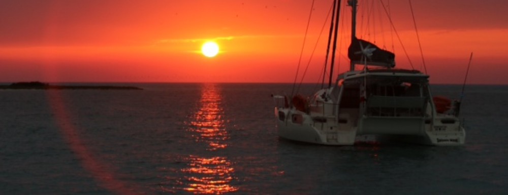
We draw 3ft and used the Nigel Calder Cuba guide to go through passages and find anchorages. In Cuba every anchorage you stop at you have to check in with the Guarda Frontera, who will typically row out to your boat.
See our blog postings of Cuba for highlights of the Cayos and things we did in Cuba.
Check in – Santiago De Cuba – docked at Marina you could anchor off
Chivrico – 19.58.16N 76.24.1W
Marea Del Portillo – 19.54.8N 77.11.1W (not allowed to go ashore?)
Cayo Ancilitas – West End – 20.48.4N 78.57.03W
Cayo Ancilitas – Palapa Tortuga – 20.49.77N 78.55.7W
Cayo Cuervo – 21.04.4N 78.57.8W
Cayo Ingles – 21.03.07N 79.17.5W
Cayo Zazade Fuera – 21.27.5N 79.34.7W
Cayos Machos De Fuera – 21.35.9N79.46.6W
Cayo Blanco – 21.38.4N 79.53.5W
Marina Trinidad – 21.44.203N 79.59.7W – we docked at Marina you could anchor off
Cayo Guano del Este – 21.39.95N 81.02.5W
Cayo La Trinchoro – 21.39.2N 81.07.8W
Cayo Largo Ballentos – 21.35.2N 81.35.2W
Cayo Largo – 21.36.86N 81.34.5W
Cayo Rico – 21.37.2N 81.39.5W
Estopita – 21.33.8N 81.45.7W
Cayo Cantilles – 21.37.2N 81.57.8W
Cayo Rosario – 21.37.2N 81.55.9W (went for protection from NE winds)
Cayo Avalos – 21.32.75N 82.10.4W
Cayo Campos – 21.33.66N 82.20.54W
Through Canal De la Cruz (follow sticks)
Isla Juventud -Nueva Gerona – 21.53.2N 82.48.1W – Docked – need reason to stop here!
Isla Juventud – Ensenada De Barco – 21.55.7N 82.57.8 W
Cayo Siju – 21.56.9N 83.31.6W
Cayo Real 21.58.0N 83.37.1W
Maria Gorda – 21.49.2N 84.29.9W ( free mooring lines) – great diving
Check Out – Los Morros – 21.54.1N 84.54.5W